


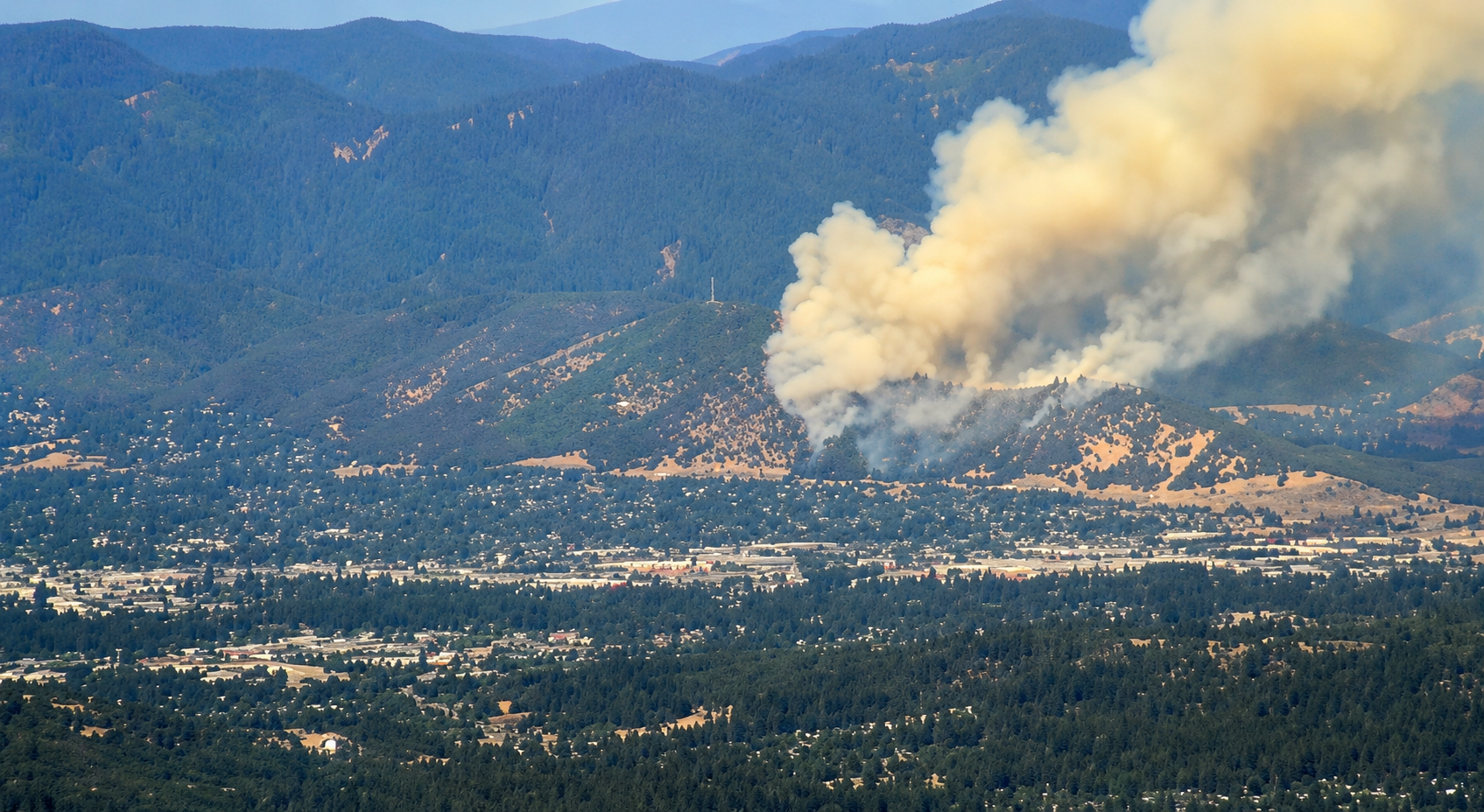
A rapidly expanding wildfire burning west of Grants Pass prompted an immediate Level 3 “GO NOW” evacuation order Saturday afternoon as firefighters launched one of the largest initial aerial attacks of the local fire season in an effort to slow the fire’s advance.
The fire was first reported shortly after 4 p.m. as a vegetation fire burning near Interstate 5 in the Upper River Road and Lathrop Road area. Fire engines from multiple agencies responded immediately while emergency dispatchers continued receiving reports from the area.
Initial radio traffic indicated firefighters were searching for the fire’s exact location before confirming an active grass fire. As crews assessed the incident, additional resources were quickly requested and firefighters repositioned to the north side of the fire as flames advanced toward the river corridor.
A firefighting helicopter departed from the vicinity of Grants Pass Airport within minutes of the initial dispatch to begin aerial suppression, marking the beginning of what rapidly evolved into a large-scale firefighting operation.
According to the Oregon Department of Forestry Southwest Oregon District, the fire was initially estimated at approximately 10 acres as firefighters and their structural fire agency partners began an aggressive initial attack.
The wildfire, however, expanded quickly.
Within a short time, fire officials increased the estimated size of the blaze to approximately 50 acres, prompting a significant escalation of firefighting resources both on the ground and in the air.
Officials reported that both of the district’s Type 2 helicopters were actively conducting continuous bucket drops while a third Type 2 helicopter was ordered to the incident.
The aerial response continued to grow as fire managers requested four Large Air Tankers and one Very Large Air Tanker, aircraft capable of delivering thousands of gallons of fire retardant to slow the fire’s spread and help protect threatened areas.
Air Attack aircraft were also coordinating suppression efforts overhead as firefighters worked to establish containment lines on the ground.
As the wildfire continued to spread, the Josephine County Sheriff’s Office issued a Level 3 “GO NOW” evacuation order, the highest evacuation level used during wildfire emergencies.
The mandatory evacuation applies to Zones GRA-22, GRA-34 and GRA-36, covering the area from Beacon Hill to West Jones Creek.
A Level 3 evacuation means residents should leave immediately because conditions present an extreme danger to life. Emergency officials warn that remaining in the area places residents, their families and first responders at significant risk and that emergency personnel may not be able to provide assistance if conditions deteriorate further.
Authorities are urging residents not to delay evacuation by attempting to gather personal belongings or protect property. Instead, officials advise leaving as quickly and safely as possible, driving with headlights on, following directions from law enforcement and emergency personnel, and using designated evacuation routes.
Residents are also encouraged to monitor official emergency communications for changing conditions and should not return home until public safety officials declare the area safe.
The cause of the wildfire has not been released and remains under investigation.
No information regarding injuries or damaged structures had been released as of publication, although firefighters continue working aggressively to keep the fire from spreading under Southern Oregon’s hot, dry, and windy conditions.
Motorists traveling near Interstate 5 and surrounding roadways should expect heavy emergency vehicle traffic, possible smoke impacts, and changing traffic conditions as firefighting operations continue. Drivers are encouraged to slow down, remain alert, and give firefighters ample room to work.
The wildfire remains an active and rapidly evolving incident. Firefighters from multiple local, state, and cooperating agencies continue battling the blaze as additional aerial resources arrive throughout the afternoon.
The Grants Pass Tribune will continue providing updates as official information becomes available regarding the fire’s growth, containment progress, evacuation areas, road impacts, and the ongoing firefighting effort.