


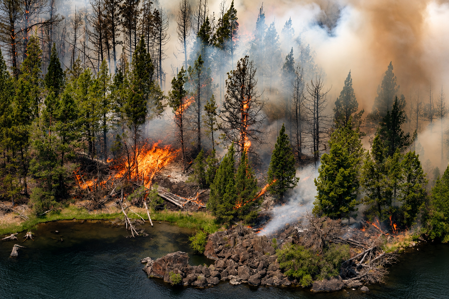
An eastern Oregon man accused of deliberately starting a series of wildfires that burned thousands of acres in Malheur County is facing nine counts of first-degree arson following a grand jury indictment that significantly increased the severity of the criminal case.
Paul Clinton Emerson, 61, of Ontario, is accused of intentionally setting fires on multiple dates during June and July, including fires in areas near Lytle Boulevard, Brogan Canyon and Huntington Road. The investigation followed a succession of fires across a landscape where dry grass, brush, wind and summer heat can allow a small ignition to grow rapidly into a large wildfire threatening homes, ranches, roads and public lands.
Emerson was arrested July 21 and initially arraigned on 15 counts of second-degree arson. He was booked into the Malheur County Jail, where bail was set at $750,000. The case later advanced through the grand jury process, with an amended indictment filed Aug. 6 charging Emerson with nine counts of first-degree arson connected with fires allegedly started during June and July.
The allegations include fires near Lytle Boulevard southeast of Vale on several dates in June. Prosecutors allege that one of the fires, started June 22, caused property damage exceeding $50,000. The criminal allegations remain unproven, and Emerson is presumed innocent unless and until he is convicted in court.
The scale of the fires associated with the investigation places the case well beyond a series of minor roadside ignitions. One of the largest incidents in the area was the Lytle Fire, which began June 22 about three miles south of Vale and grew to approximately 6,500 acres. The fire burned grass and brush in an area that includes land administered by the Bureau of Land Management’s Vale District.
Federal wildfire records documented extreme fire behavior during the incident, including running flames, flanking movement and short-range spotting. Structures were threatened as the fire expanded, roads were closed and evacuation notices were issued for nearby residents. At one stage of the response, approximately 139 personnel were assigned to the incident as firefighters worked to establish containment lines and prevent additional spread.
Residents in portions of the Cow Hollow and Mitchell Butte areas were placed under Level 3 evacuation notices during the Lytle Fire, the highest evacuation level and an instruction to leave immediately. Fire crews continued working through the night before returning to suppression and containment operations the following day. Evacuation restrictions were eventually lifted as firefighters reduced the immediate danger.
The federal presence in the region is considerable. The BLM’s Malheur Field Office, operating within the Vale District, administers approximately 4.6 million acres across Malheur, Grant and Harney counties, along with a small portion of neighboring Nevada. Wildfires on these lands can require substantial commitments of federal and local firefighting resources, particularly when flames approach private property, transportation corridors, ranching operations or communities.
The investigation leading to Emerson’s arrest extended beyond the Lytle Fire. Authorities initially connected him to a broader series of fires reported around Brogan Canyon and Huntington Road, resulting in the original 15 second-degree arson charges. The later grand jury action did not simply reproduce those initial allegations. Instead, nine charges were elevated to first-degree arson as prosecutors continued developing the case.
The distinction carries considerable legal significance under Oregon law. First-degree arson addresses circumstances involving intentionally caused fires that meet specific statutory requirements concerning property, damage and danger to people or protected property. Prosecutors will be required to prove the elements of each charge beyond a reasonable doubt.
The case also illustrates the complicated jurisdiction surrounding wildfire response in Oregon. The Oregon Department of Forestry protects millions of acres of forestland across the state, but it is not automatically the lead agency on every Oregon wildfire. Fires burning on BLM property can fall under federal protection and suppression responsibility, while county sheriffs, local fire districts, emergency managers and state agencies may become involved depending on where a fire spreads and what communities or property are threatened.
That network is familiar throughout Oregon. From the rangelands of Malheur County to the forests and valleys of Southern Oregon, wildfire suppression frequently requires cooperation among federal, state and local agencies. A fire beginning under one jurisdiction can cross ownership boundaries quickly, bringing additional agencies, equipment and personnel into the response.
Investigators and prosecutors have not publicly established a motive for the fires Emerson is accused of starting. Without evidence presented through court proceedings or released by investigating authorities, speculation about why the fires were allegedly set remains unsupported.
The criminal proceedings are continuing in Malheur County Circuit Court. On Aug. 14, a judge denied Emerson’s request to be released from jail or have his $750,000 bail reduced, leaving him in custody while the case moves forward.
For Oregon residents, the prosecution arrives during a fire season in which firefighters across the state have repeatedly confronted the consequences of fast-moving fires in dry vegetation. The Malheur County case is unusual because investigators allege not an accidental ignition or natural cause, but a succession of deliberately set fires occurring across multiple dates.
The indictment does not determine Emerson’s guilt. It establishes the criminal allegations that prosecutors will now be responsible for proving through Oregon’s judicial process. As the case proceeds, court filings and hearings are expected to provide additional details about the evidence behind the nine first-degree arson charges and the series of fires that prompted an extensive investigation across Malheur County.