


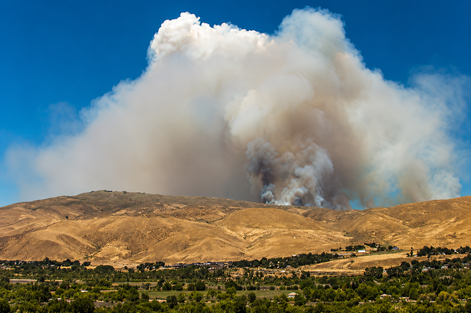
Wildfire smoke is again filtering across portions of Southern Oregon, bringing haze back over Rogue Valley communities as September weather shifts the movement of smoke between Jackson and Josephine counties and keeps the region firmly within an active fire season.
The changing conditions are affecting a broad section of southwestern Oregon rather than a single community. Smoke visible around portions of Jackson County can migrate west through the Rogue River corridor toward Josephine County, while changing winds can carry smoke from fires elsewhere in Oregon and Northern California into Grants Pass, Cave Junction, Medford and surrounding rural communities.
State and federal agencies continue tracking both wildfire activity and airborne particulate pollution across the region. The Oregon Department of Environmental Quality monitors ground-level air quality, while the National Weather Service in Medford evaluates winds, atmospheric stability and smoke movement across Southern Oregon and Northern California. Fire conditions are monitored by the Oregon Department of Forestry, Oregon State Fire Marshal and federal land agencies.
The East Evans Creek Fire remains among the significant Southern Oregon fires of the 2026 season. The fire began July 10 west of Shady Cove and northeast of Rogue River, where rapidly expanding flames prompted Oregon to invoke the Emergency Conflagration Act and mobilize additional structural firefighting resources.
The fire ultimately burned approximately 15,700 acres. During its most aggressive period, flames moved through steep terrain while firefighters defended homes and communities around East Evans Creek Road, West Fork Evans Creek Road, Trail, Shady Cove and the surrounding countryside.
Its effects extended well beyond the fire perimeter. Smoke from East Evans Creek spread across Jackson County during July, prompting air-quality advisories as fine particulate pollution accumulated in populated areas. Northern Jackson County and Shady Cove were among the locations specifically affected, while regional winds and Southern Oregon’s mountainous geography allowed smoke to travel beyond the immediate vicinity of the fire.
Current conditions, however, cannot yet be attributed exclusively to East Evans Creek. No current state or federal advisory reviewed Sunday identifies that fire as the confirmed source of a new widespread smoke event across Jackson and Josephine counties. Smoke now visible over portions of Southern Oregon may include material transported from multiple fires, residual burning or other regional fire activity.
That broader movement is particularly important for Josephine County. Grants Pass, Cave Junction, the Illinois Valley and communities along the Rogue River do not need an active wildfire within county boundaries to experience deteriorating visibility or air quality. Smoke routinely crosses jurisdictional lines as winds funnel through valleys connecting southwestern Oregon.
Air-quality monitors measure concentrations of PM2.5, microscopic particles produced by wildfire smoke that can penetrate deeply into the respiratory system. Conditions can differ substantially between communities only a few dozen miles apart, particularly when smoke settles into lower elevations overnight before atmospheric mixing increases during the day.
The weekend weather pattern has added another variable. Cooler temperatures and showers reached portions of Southern Oregon Saturday before drier conditions began returning Sunday. Forecasts from the National Weather Service in Medford indicate a warming trend developing during the early portion of the week, continuing the transition from the weekend’s cooler weather.
Those changes can rearrange smoke across the region within hours. Overnight temperature inversions can concentrate smoke near valley floors, while daytime heating and stronger atmospheric mixing can lift it from populated areas. Wind shifts can then transport the same smoke into another portion of Jackson or Josephine counties.
The result is a September wildfire environment in which the location of an active fire tells only part of the regional story. Southern Oregon’s interconnected valleys can carry smoke from eastern Jackson County toward the Rogue River corridor, while fires in Northern California or elsewhere in southwestern Oregon can influence conditions farther north.
East Evans Creek demonstrated that reach earlier this summer when a fire centered in northern Jackson County produced consequences extending far beyond the acreage being consumed. Its July expansion required statewide firefighting assistance, threatened rural communities and contributed to degraded air quality across populated areas removed from the flames themselves.
By September, the region has moved beyond the most intense heat of midsummer, but not beyond wildfire season. Vegetation across southwestern Oregon remains capable of supporting fire, and changing autumn weather can alternately improve fire behavior or produce dry and windy periods capable of increasing it.
For Jackson and Josephine counties, the current return of smoke is another indication that Southern Oregon’s 2026 wildfire season has not concluded with the arrival of cooler nights. Fire activity may be concentrated in isolated areas, but smoke remains capable of traveling across the Rogue and Illinois valleys, crossing county boundaries and changing conditions from one community to the next as weather patterns move across the region.