


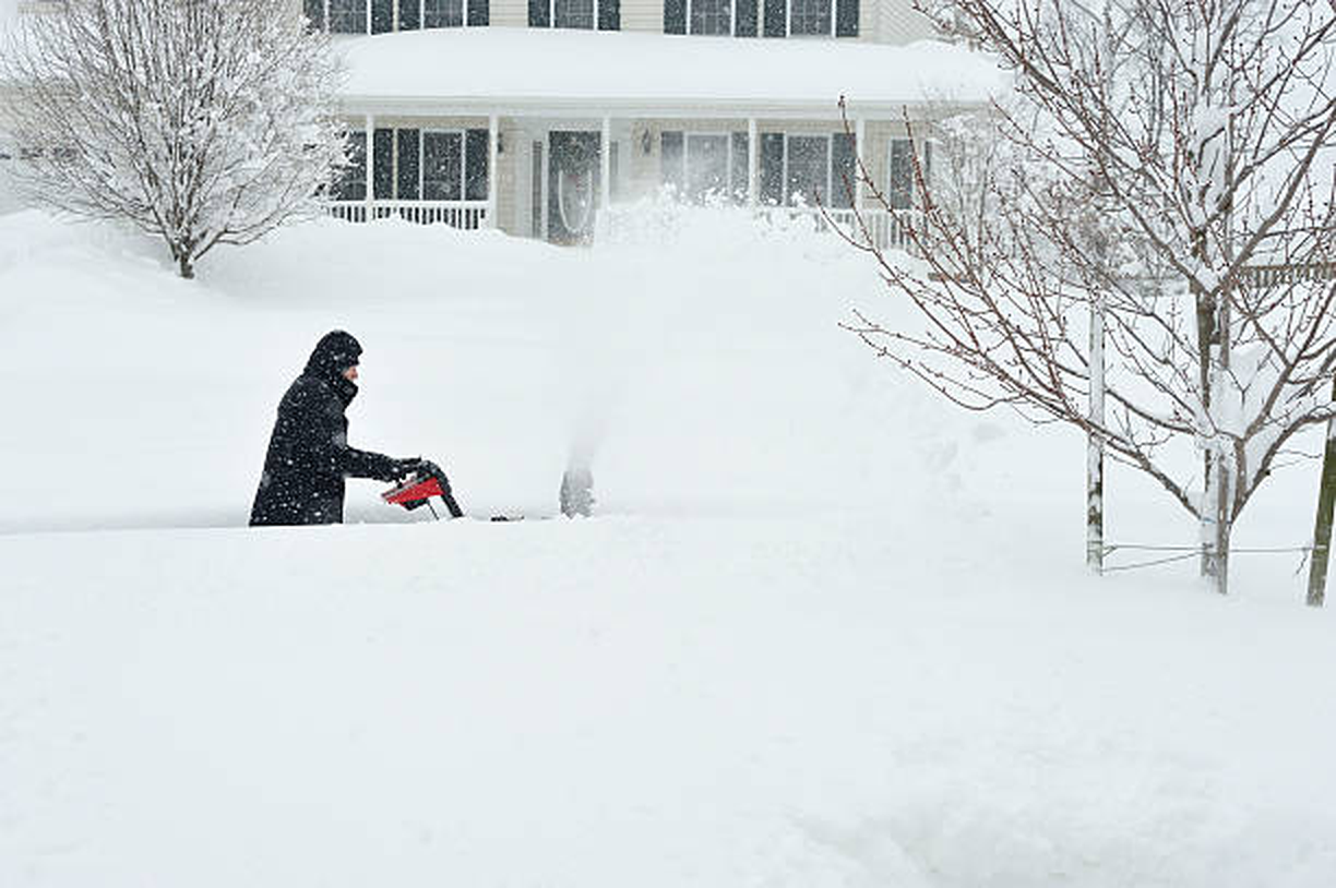
A powerful late-season winter storm is forecast to strike large portions of the northeastern United States this weekend, bringing the potential for blizzard conditions, heavy snowfall, damaging winds, and widespread travel disruptions from the Mid-Atlantic through New England.
After several days of uncertain projections, meteorologists have reached broad agreement that a rapidly strengthening coastal storm will develop offshore and track northward along the Atlantic seaboard. Forecast models now indicate that densely populated metropolitan areas including New York City, Boston, and surrounding regions could experience some of the most significant winter weather impacts of the season.
The storm is expected to form as a classic nor’easter, a type of low-pressure system that intensifies over coastal waters while drawing cold air inland. As the system strengthens, forecasters anticipate a rapid drop in atmospheric pressure, a process known as bombogenesis, which can dramatically increase wind speeds and snowfall rates over a relatively short period of time.
Snow is projected to begin spreading into parts of the Mid-Atlantic before advancing northward into southern New England. By Sunday afternoon, conditions are expected to deteriorate quickly across urban corridors stretching from Washington, D.C., through Philadelphia and into New York City. The most intense period of snowfall is forecast to occur Sunday night into early Monday morning, when heavy snow bands and strong winds may combine to produce near-whiteout conditions in some areas.
Current projections suggest snowfall totals ranging from several inches in portions of the Mid-Atlantic to more than a foot across parts of Connecticut, Rhode Island, and Massachusetts. Coastal and inland sections of New England could see localized totals exceeding 18 inches where the most persistent snow bands develop. Meteorologists caution that snowfall amounts may vary sharply over relatively short distances depending on the exact track of the storm.
Wind will play a significant role in the storm’s impact. Forecasts call for sustained winds capable of producing blizzard conditions, defined by visibility reduced to a quarter mile or less for extended periods due to blowing snow. Coastal areas may experience gusts exceeding 60 miles per hour, increasing the risk of power outages and hazardous travel conditions.
Blizzard warnings have been issued in several regions, including parts of the New York metropolitan area, marking one of the rare occasions in recent years that such warnings have been declared for the city. Transportation agencies across the Northeast are preparing for potential service interruptions, with airlines already monitoring the likelihood of widespread flight cancellations at major airports.
In addition to snowfall and wind, coastal flooding remains a concern. Strong onshore winds combined with elevated tides could produce minor to moderate flooding in vulnerable shoreline communities, along with beach erosion and hazardous marine conditions.
Weather officials note that forecasting this storm proved challenging earlier in the week because small shifts in the storm’s offshore track could significantly alter precipitation type and intensity. A deviation of even 50 to 100 miles can determine whether major cities receive rain, mixed precipitation, or heavy snowfall. Improved atmospheric sampling and updated model guidance have since increased confidence in a high-impact winter storm scenario.
Emergency management agencies throughout affected states are urging residents to prepare for rapidly changing weather conditions, limit unnecessary travel during peak snowfall, and monitor local forecasts as the storm evolves. Schools, businesses, and public services may adjust schedules depending on local conditions.
The approaching nor’easter arrives during an active winter pattern across the eastern United States, characterized by frequent storm systems fueled by contrasting cold continental air and relatively warm Atlantic Ocean temperatures. Meteorologists expect the system to gradually weaken as it moves into Atlantic Canada early next week, allowing conditions across the Northeast to improve following the storm’s departure.
As final preparations continue, officials emphasize that exact snowfall totals and localized impacts will become clearer only as the storm fully develops, with updates expected throughout the week.