


After four days of firefighting in steep country west of Rogue River, the Fielder Mountain Fire enters Monday with a line around its entire perimeter, evacuation levels substantially reduced and crews working deeper into the burned landscape to eliminate heat that could threaten those gains.
The wildfire was mapped Sunday at approximately 573 acres and 18 percent containment. The latest acreage represents more precise infrared mapping of the burn rather than a comparable increase in fire activity, providing a clearer measurement of a fire that spread rapidly after breaking out Thursday afternoon near Interstate 5.
What began shortly after 3 p.m. Thursday, Aug. 13, quickly became a major firefighting operation for Jackson and Josephine counties. Flames moved uphill through dry vegetation and difficult terrain, sending crews toward the mountain while aircraft worked overhead to slow the advance. Within hours, evacuation zones had expanded, Interstate 5 traffic was disrupted and residents in threatened areas were being told to leave.
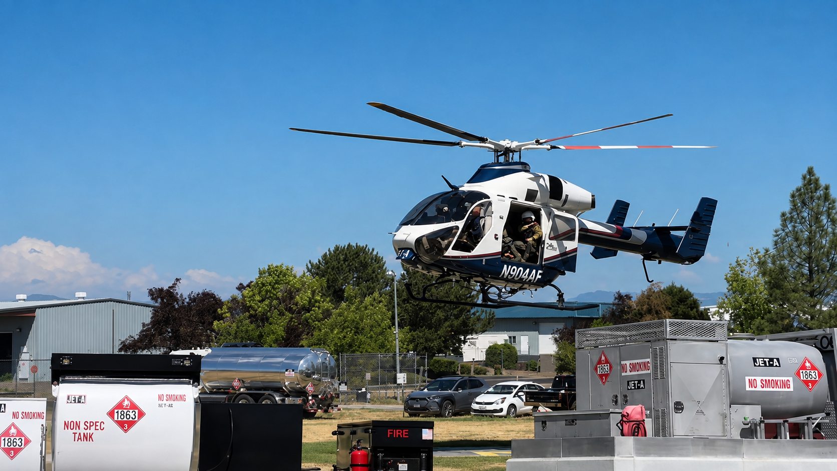
The response grew alongside the fire. Engines, hand crews, bulldozers, water tenders and fallers were joined by helicopters and air tankers, with as many as 11 aircraft assigned during the height of aviation operations. Firefighters concentrated on keeping the fire from pushing farther through the surrounding terrain while constructing line wherever ground conditions allowed.
By Friday morning, crews had established line around roughly 70 percent of the perimeter. Oregon Department of Forestry Complex Incident Management Team 1 assumed management of the increasingly complicated operation, coordinating personnel, equipment, aviation resources and the logistical demands of an incident spanning the Jackson-Josephine county area.
That work continued through the weekend, eventually producing a completed line around the fire. Crews then began the painstaking process of moving inward from the perimeter, locating smoldering vegetation, burning roots, weakened trees and other pockets of heat that could send fire back toward the edge.
By Sunday morning, firefighters had pushed mop-up operations approximately 300 feet inside portions of the perimeter. The terrain makes that work particularly demanding. Burning material can roll downhill, roots can carry heat underground and trees weakened by fire can create hazards long after the most visible flames have disappeared.
The improving fire picture has allowed authorities to scale back evacuation notifications that were imposed during Thursday’s rapid expansion. At the height of the emergency, Level 1, Level 2 and Level 3 evacuation zones covered portions of Jackson and Josephine counties, with approximately 1,000 residents ordered to leave their homes.
Evacuation levels were substantially reduced by Sunday, although some areas remained under Level 1 “Be Ready” notifications. Residents within the affected region should continue checking information from the Jackson County Sheriff’s Office and Josephine County Sheriff’s Office for the status of individual roads and addresses, as boundaries can change when firefighters evaluate conditions along the perimeter.
The fire also disrupted one of Southern Oregon’s busiest transportation routes during its opening hours. Northbound Interstate 5 near milepost 51, about three miles north of Rogue River, was temporarily closed Thursday as smoke, flames and emergency operations affected the highway. Traffic was diverted toward Oregon Route 99 before the interstate reopened.
Drivers traveling through the Rogue River area may continue to encounter firefighting vehicles and equipment moving between the incident and nearby roads. The City of Rogue River also asked residents during the response to avoid unnecessary water use, preserving available capacity while firefighting operations were underway.
The scale of the initial threat prompted federal assistance. The Federal Emergency Management Agency approved Oregon’s request for a Fire Management Assistance Grant Thursday night after the fire threatened homes and other infrastructure around Rogue River. The federal program can reimburse up to 75 percent of eligible firefighting expenses incurred by state and local agencies during qualifying incidents.
Investigators have determined that the Fielder Mountain Fire was human-caused, although authorities have not publicly identified the specific circumstances that started it. The investigation remains active, and no more detailed cause has been officially established.
The updated 573-acre figure is somewhat larger than earlier estimates of roughly 548 to 550 acres. Fire officials attributed that adjustment to infrared mapping that provided a more accurate measurement of the perimeter, rather than another substantial run by the fire.
Containment remains a separate measurement from having line constructed around a wildfire. Although firefighters have established line around the entire Fielder Mountain perimeter, sections are not counted as contained until crews are confident those areas are sufficiently secure to withstand remaining heat, wind and changing fire conditions. That is why mop-up operations can continue for days even after a fire appears relatively quiet from surrounding communities.
For Rogue River and neighboring communities, Monday begins under markedly different circumstances than Friday morning. The urgent race to stop a rapidly expanding wildfire has shifted toward securing hundreds of acres of burned ground, checking containment lines and extinguishing the stubborn heat left behind.
The Fielder Mountain Fire remains an active incident, and crews still have considerable work ahead before containment reaches 100 percent and the remaining evacuation notifications can be removed. With its perimeter lined and firefighters steadily moving farther into the burn, the focus entering the new week is now on holding what has been built and preventing the fire from reclaiming ground.