


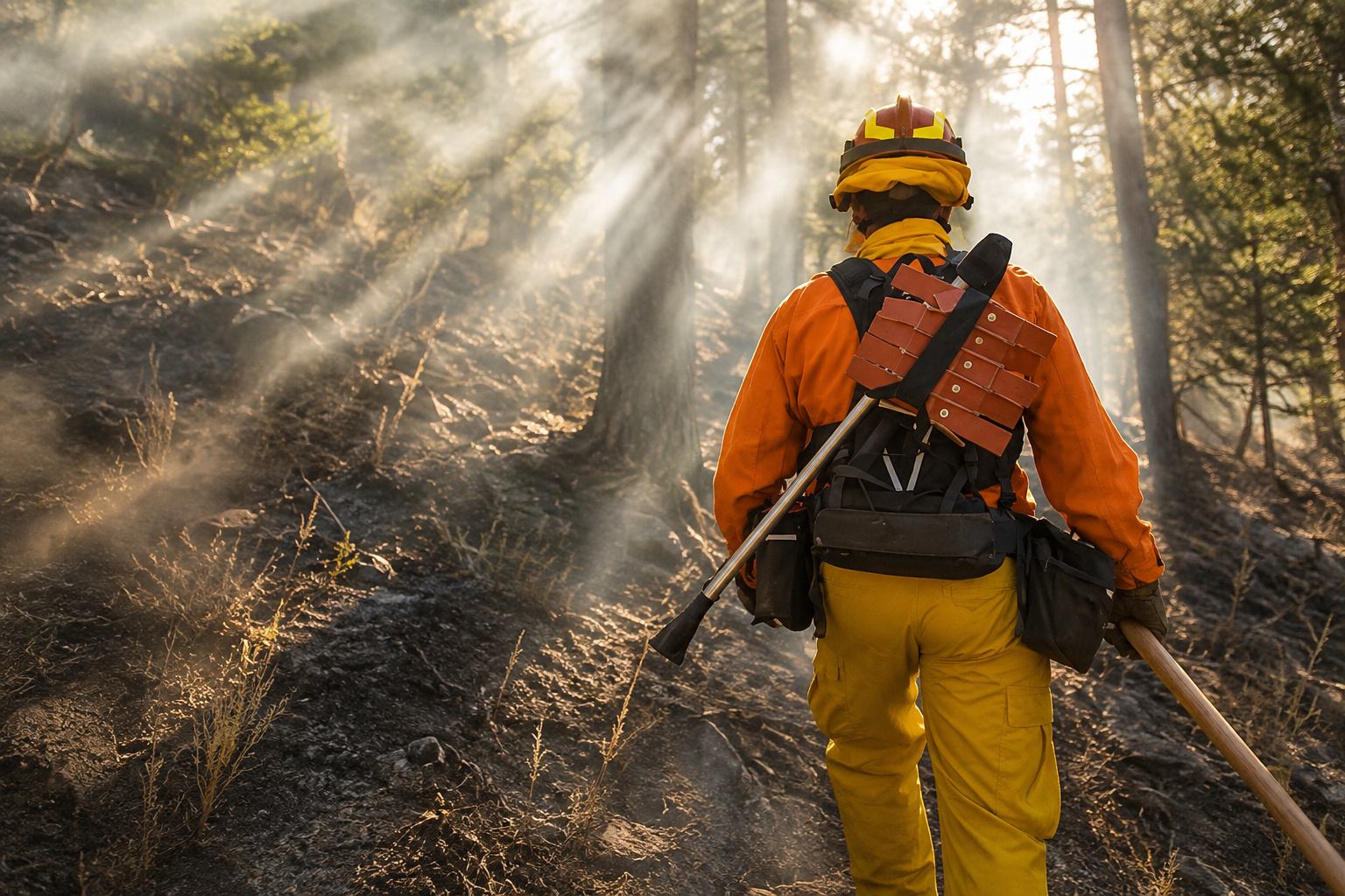
Southern Oregon finally received some September rain, temperatures have backed away from summer extremes and fire danger across Jackson and Josephine counties has fallen to Moderate. None of it means wildfire season has packed up and left Oregon.
From small lightning ignitions scattered through the mountains around the Rogue Valley to fires measuring tens and even hundreds of thousands of acres farther north and east, Oregon entered the first weekend of September with an extensive wildfire response still underway. Some of the summer’s largest fires are approaching full containment. Others remain surrounded by miles of unsecured perimeter. Evacuation territory still exists, highway and recreation closures remain in place, and firefighters continue searching Southern Oregon forests for lightning fires that may not immediately reveal themselves after a storm.
For Rogue Valley residents, some of the closest examples are also among the smallest.
The Siskiyou Pass Complex, Soda Conde and Conde Creek Road fires were detected following lightning activity in southern Jackson County. None has developed into a major wildfire, and the Conde Creek Road Fire has remained below one acre. The other nearby starts have likewise shown little measurable growth.
Their size is reassuring, but their geography places them squarely within the regional fire picture. The Siskiyou Pass Complex is in the mountains south of the Rogue Valley, near the broader Siskiyou Summit region crossed by Interstate 5. For communities from Grants Pass and Medford to Ashland, I-5 over the Siskiyous is the principal highway connection south into Northern California. There are no evacuation orders or interstate closures attributed to the complex, and current information does not indicate an immediate threat to I-5.
Fire crews are nevertheless continuing to watch lightning-struck terrain throughout the region. Rain can quiet a landscape without necessarily extinguishing an ignition concealed inside a tree, stump, root system or heavy vegetation. A holdover fire can remain difficult to detect before heat and drying conditions eventually produce visible smoke.
That is one reason Southern Oregon remains under fire-season restrictions despite the wetter weather.
Fire danger has been reduced to Moderate across approximately 1.8 million acres of state, private, county, municipal and Bureau of Land Management-protected lands in Jackson and Josephine counties. Industrial Fire Precaution Level II remains in effect, outdoor debris burning remains prohibited, and a BLM fire-prevention order covering the Medford District took effect at 12:01 a.m. September 5.
Travel north from the Rogue Valley, and Oregon’s wildfire landscape quickly becomes much larger.
Southeast of Estacada, the Austin Fire in the Mount Hood National Forest has burned approximately 12,612 acres and is about 21 percent contained. Rain and higher humidity have reduced fire behavior, but crews continue working hot areas, hazardous trees and containment lines. Level 3 evacuation territory remains along portions of the Clackamas River corridor, while Highway 224 remains closed east of Fish Creek. Timothy Lake recreation sites reopened September 4 as conditions improved.
Nearby in Clackamas County, the Narrows Fire is much smaller at approximately 302 acres, but containment remains at 11 percent. Its comparatively modest footprint does not remove it from active management while substantial portions of the perimeter remain unsecured.
Across north-central Oregon, the Grasshopper Fire has burned approximately 93,993 acres and reached 84 percent containment. Rain has slowed fire behavior and helped crews advance around the perimeter, while work continues in steep terrain among hazardous trees and areas retaining heat.
The dimensions become even greater farther east.
Near Fossil in Wheeler County, the Rowe Creek Complex has burned approximately 373,927 acres. At 99 percent containment, it is now largely a story of firefighters securing the final portions of perimeter, locating residual heat and repairing areas affected during suppression. Its enormous acreage nevertheless remains one of the clearest measurements of how extensively fire has moved across Oregon during the 2026 season.
The Shingle Fire, also in Wheeler County, has burned approximately 73,183 acres and reached 95 percent containment.
In Harney County, the Second Flat Fire stands at approximately 105,854 acres and 99 percent containment. The Coyote Fire in Crook County has burned approximately 17,460 acres and reached 96 percent containment, while Grant County’s Salmon Fire is approximately 1,433 acres and 95 percent contained.
Baker County remains one of the areas where improving weather has not eliminated significant fire operations.
The McCully Fire in the Elkhorn Mountains northwest of Baker City has burned approximately 13,479 acres but is only 8 percent contained. Nearly 950 personnel have been assigned to the incident. Rain and even high-elevation snow have helped restrict recent growth, yet the low containment percentage leaves extensive perimeter requiring continued work. Level 1, Level 2 and Level 3 evacuation areas have remained part of Baker County’s emergency fire map.
The Fox Fire in the same broader region presents a very different stage of suppression. After burning approximately 78,903 acres, it has reached 99 percent containment. Conditions have improved enough for the Bureau of Land Management to reopen Basser Diggins Campground and Spring Recreation Day Use, including the boat ramp. Spring Recreation Campground remains closed while suppression repair continues.
Northeastern Oregon also remains occupied by the Hagen and Paradise fires. Hagen has burned approximately 61,408 acres and reached 54 percent containment. Authorities in Umatilla and Union counties and on lands associated with the Confederated Tribes of the Umatilla Indian Reservation have been able to reduce or eliminate some evacuation levels as fire conditions improve.
The Paradise Fire has burned approximately 9,639 acres and is 22 percent contained. Wetter weather has moderated activity there, but the amount of uncontained perimeter continues to require suppression work.
Across these incidents, September rain is changing the work firefighters are doing. On fires approaching 100 percent containment, crews are increasingly moving from aggressive perimeter operations into patrol, mop-up, residual heat detection and repair of dozer lines, roads and other areas affected during suppression. On fires with substantially lower containment, the same rain has provided an opportunity to strengthen lines and work terrain that was considerably more difficult during hotter and drier conditions.
Restrictions are being adjusted accordingly, but they are not disappearing uniformly across Oregon.
Central Oregon moved to Stage 1 public-use restrictions September 5 on the Deschutes and Ochoco national forests, Crooked River National Grassland and Prineville District BLM lands. Open fires, wood stoves and charcoal fires remain restricted outside authorized locations. Other BLM districts across Oregon continue operating under their own restrictions according to local conditions.
Evacuation conditions are following a similar pattern. Some communities are seeing levels reduced or removed around the Hagen Fire, while Level 3 territory remains associated with the Austin Fire and multiple evacuation levels remain part of the McCully fire response in Baker County. Those boundaries remain subject to immediate changes by county emergency managers and sheriff’s offices as conditions develop.
For Southern Oregon, the statewide numbers offer perspective on why a few days of rain cannot be treated as the end of the season. Rowe Creek has burned nearly 374,000 acres. Second Flat exceeds 105,000 acres. Grasshopper approaches 94,000. Fox is nearing 79,000. Shingle has exceeded 73,000 and Hagen has surpassed 61,000 acres.
Many of those fires are now close to containment. The Rogue Valley’s newest lightning starts are tiny by comparison. Both facts can exist within the same Oregon wildfire season.
The rain falling across Southern Oregon has helped firefighters. Moderate fire danger is an improvement over the conditions residents experienced earlier in the summer. Cooler nights, higher humidity and wetter vegetation all influence how readily fire can spread.
They do not make September incapable of producing another wildfire.
A lightning strike can leave heat hidden in the forest. Fine vegetation can dry again. Equipment can create a spark. A campfire can escape. Winds can change how an existing fire behaves. That is why firefighters remain in the mountains, restrictions remain posted and evacuation systems remain active even while some of Oregon’s largest fires move toward containment.
For residents of Grants Pass, Medford, Ashland and communities throughout the Rogue Valley, the closest fires today may amount to little more than small dots on a statewide incident map. Beyond Southern Oregon, those dots expand into thousands of acres of active fire ground stretching through the Cascades, Central Oregon and the eastern counties.
September rain has given Oregon’s firefighters an advantage. It has not given Oregon an early end to wildfire season.