


Firefighters have increased containment of the West Fork Evans Creek Fire to 45%, holding the Southern Oregon wildfire at 283 acres while extending mop-up operations approximately 100 feet inside its entire perimeter. No structures have been destroyed, and none were threatened according to the latest available update.
The containment increase was reported Monday evening, October 19, following several days of fireline construction and work to extinguish lingering heat. Crews continued securing the burned area between Rogue River and Shady Cove, near the footprint of the East Evans Creek Fire, as suppression operations shifted toward deeper mop-up and removal of hazardous trees.
Along the southern portion of the fire, specialized falling crews removed fire-weakened trees as far as 300 feet inside the burn. Steep, rocky slopes continued to complicate access and require careful movement by firefighters working around unstable trees and remaining hot spots.
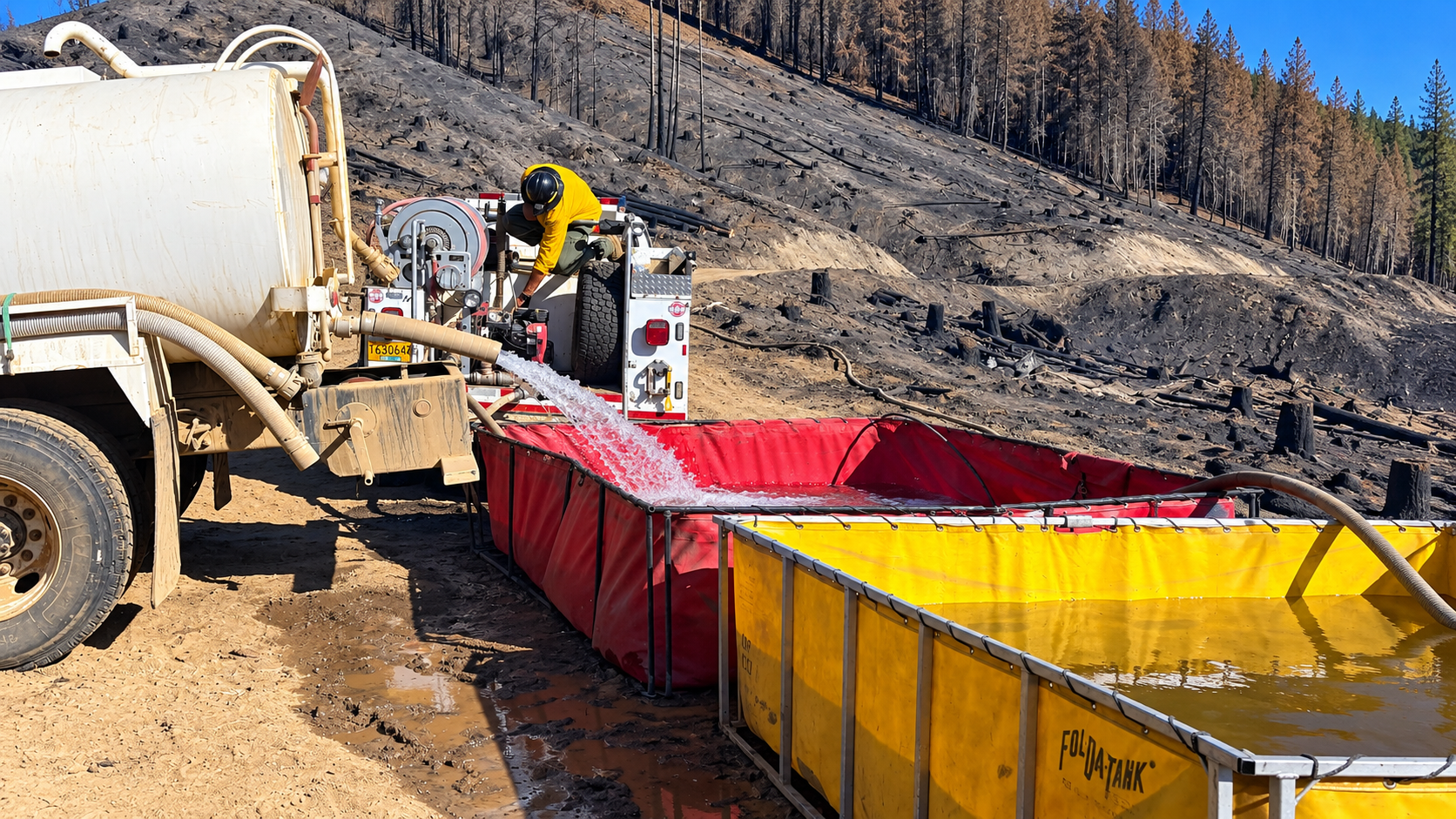
Monday night’s assignment included six 20-person hand crews, six Type 6 engines and five water tenders, supported by supervisory personnel. Overnight staffing was being reduced as additional sections became secure, with resources concentrated during daytime operations. A drone reconnaissance flight was scheduled to identify areas needing further attention.
Cooler overnight weather was expected to support the work, with temperatures forecast to fall into the mid-40s and relative humidity recovering to approximately 75%. The cause remained under investigation.
The fire was first reported shortly before 3 p.m. Thursday, October 15. Oregon Department of Forestry crews responded with engines, hand crews, bulldozers and aircraft. The Rogue River-Siskiyou National Forest supplied a helicopter to assist the initial suppression effort.
By Friday morning, the fire had grown to an estimated 200 acres. Heavy accumulations of vegetation, limited water access and hazardous trees complicated the response. Narrow access roads required crews to coordinate water deliveries, while some slopes were too steep for bulldozers to operate safely. Firefighters relied on hand-built lines and hose systems in those locations.
Southeast winds contributed to a roughly two-acre spot fire about 1,000 feet from the main body of the blaze. Crews were holding that spot fire during Friday morning’s reporting period. Four Type 1 helicopters and an air-attack aircraft were assigned that day to support ground operations and coordinate aerial suppression.
Smoke moved southwest toward Grants Pass during the early stages of the fire. Initial acreage estimates remained preliminary while difficult terrain and continued burning limited opportunities for accurate mapping.
Firefighters completed line construction around the entire perimeter Saturday evening, October 17. The fire was then measured at 281 acres, with containment at 25%. Crews began extending mop-up approximately 15 to 25 feet inside the burned area, locating and extinguishing heat near the established lines.
Heavy fuels continued burning within the interior, but firefighters held the perimeter as cooler temperatures and lighter winds supported their work. Mop-up subsequently advanced farther into the burn, reaching approximately 35 to 60 feet around the perimeter Sunday.
Containment increased to approximately 30% Sunday and 35% by Monday morning. The reported acreage stood at 283 acres Monday morning and remained unchanged in the evening update as crews continued extinguishing heat and strengthening secured portions of the fire.