


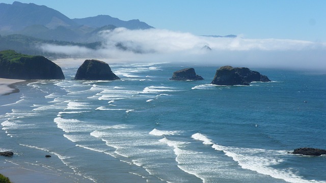
Dangerous surf threatens Oregon beaches Monday as another Pacific swell drives breakers as high as 30 feet toward the shoreline, prolonging a weekend of hazardous conditions from the northern coast to Brookings.
A high surf warning covers the south-central Oregon coast and Curry County through 10 p.m. Monday, November 16. Charleston, Port Orford, Gold Beach and Brookings are among the communities facing waves capable of flooding beaches, reaching normally dry ground and damaging shoreline infrastructure.
Breakers of 25 to 30 feet were forecast to build Sunday afternoon and carry dangerous surf into Monday morning. Wave heights are expected to decline gradually through Monday evening, although hazardous conditions will continue during that retreat.
Along the northern and central Oregon coast, a high surf advisory extends until 10 a.m. Monday, with breakers forecast to reach 25 to 30 feet. An extreme sneaker-wave threat accompanies the large surf, putting people near the water at risk of being knocked down and swept into the ocean.
The latest swell follows forecasts of 30- to 35-foot breakers Friday night and Saturday. Earlier warnings covered the Clatsop and Tillamook county coastlines and central Oregon beaches through noon Saturday. Southern coastal beaches also faced forecasts of 30- to 35-foot breakers Saturday morning before wave heights temporarily subsided.
Monday’s hazards reach beyond the water’s edge. Powerful waves can wash across beaches and over rocks, jetties and other waterfront structures. Low-lying shoreline faces unusually high water run-up, while exposed southern coastal areas face significant beach erosion and possible infrastructure damage.
Beach walks, jetty fishing and shoreline sightseeing remain dangerous in affected areas. On the southern coast, the warning calls for people to stay off beaches, rocks, jetties, piers and other exposed waterfront structures.
Sneaker waves can surge beyond preceding waves and reach people standing on sand that appeared safely outside the surf. The force can knock beachgoers off their feet and pull them into cold water. Heavy driftwood adds another threat as incoming water lifts or rolls logs across the beach.
The storm sequence developed around a long-period Pacific swell generated near the western Aleutians. Earlier forecasts placed its arrival along Oregon’s coast late Friday, with the initial peak Saturday morning. Coastal weather outlooks also identified rain and wind hazards through the weekend, including storm-force winds over offshore waters Friday and Saturday.
For coastal communities and residents arriving from inland Oregon, the southern shoreline faces the longer warning period Monday. Dangerous surf is expected to persist after the northern and central coast advisory’s scheduled morning expiration, with gradual improvement along the southern coast through the evening.