


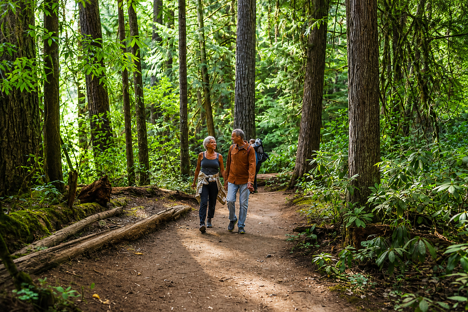
Looking for something to do this week or already thinking about next weekend? Get outside, take a hike and explore Oregon. Southern Oregon has miles of trails leading through forests, alongside rivers and waterfalls, across volcanic plateaus and into some of the highest country in the state, with options ranging from an easy afternoon walk to a full weekend built around hiking.
For Oregonians traveling south from Portland, Salem or Eugene, Grants Pass makes a natural starting point. Cathedral Hills sits just outside the city with roughly 10 miles of interconnected trails crossing about 400 acres of Bureau of Land Management property. Douglas-fir, ponderosa pine and madrone cover much of the trail system, and the interconnected routes make it possible to choose a shorter outing or put together several miles of hiking without traveling far from town. Cathedral Hills is not currently listed under a wildfire closure, although extreme fire restrictions remain in effect on BLM lands in the Medford District.
A shorter outing can be found nearby at the Limpy Botanical Interpretive area, where a forested trail follows Limpy Creek through an area known for its variety of plant life. Together, Limpy and Cathedral Hills provide two convenient choices around Grants Pass before the hiking possibilities begin spreading east across the Rogue Valley.
That eastward trip quickly reaches one of the region’s most recognizable landscapes. Upper and Lower Table Rock rise above the valley between Grants Pass and Medford, remnants of volcanic activity that left broad, flat-topped formations overlooking the surrounding countryside. Upper Table Rock is approximately 2.5 miles round trip, while Lower Table Rock is roughly 3.5 miles. Lower Table Rock also includes the half-mile Oak Savannah Loop for visitors looking for an accessible option. The Table Rocks are not currently listed under a wildfire closure, but their exposed terrain makes an early start particularly worthwhile during hot August weather.
The drive through this part of the Rogue Valley also passes relatively close to the Fielder Mountain Fire near Rogue River, which grew rapidly after starting Thursday, August 13, and resulted in evacuation orders and warnings in portions of Jackson and Josephine counties. Those evacuation notices have since been substantially reduced from their peak, but the fire remains an active incident. Hikers traveling through Rogue River or using rural roads in the surrounding area should check the current evacuation map before leaving the highway and avoid roads being used by firefighting crews.
Continue through the valley and Highway 62 provides a natural route toward cooler forests and waterfall country. Around Prospect, Mill Creek Falls and Barr Creek Falls offer hikers a chance to trade the exposed hills of the Rogue Valley for forest, rushing water and the upper Rogue River landscape. The waterfalls can be worked into a day trip of their own or used as stops on the way toward Crater Lake, allowing visitors to cover several distinctly different parts of Southern Oregon without spending the entire day on one trail.
Highway 62 eventually carries that trip into Crater Lake National Park, where Plaikni Falls and Watchman Peak offer two very different ways to explore the park on foot. Plaikni Falls follows a comparatively easy forest route to a waterfall, while Watchman Peak climbs above the rim for views across Crater Lake and Wizard Island. Neither trail is currently identified by the National Park Service as closed because of wildfire.
Crater Lake does have other access changes that visitors need to know before making the drive. East Rim Drive from Park Headquarters to Phantom Ship Overlook is closed for road construction, while Cleetwood Cove Trail and the marina are closed as part of a multiyear rehabilitation project. Highway 62 through the park, West Rim Drive and North Entrance Road remain available under current park conditions, giving visitors access to much of the park despite the construction.
From Crater Lake country, Southern Oregon’s hiking opportunities stretch south toward the Greensprings and Cascade-Siskiyou region, where hikers can step onto the Pacific Crest Trail without signing up for a journey to Canada. Trails around Greensprings Summit, Hyatt Lake, Hobart Bluff and Soda Mountain move through forests, meadows and higher-elevation terrain that can provide a welcome alternative to the hotter valleys below.
The Rogue River-Siskiyou National Forest is currently under Stage 3 public-use fire restrictions, however, and fire danger remains a serious consideration throughout the region. The restrictions do not represent a blanket closure of the forest to hiking, but they place significant limits on campfires and other activities capable of starting a wildfire. Anyone combining a hike with camping should check the current restrictions before packing for the trip.
Travel west from Grants Pass instead, and Highway 199 opens another collection of hiking possibilities through the Illinois Valley. Eight Dollar Mountain is known for unusual serpentine soils and distinctive plant communities, while its botanical wayside provides an accessible boardwalk for visitors who want to explore without taking on a long hike. Farther into the mountains, Babyfoot Lake and the Kalmiopsis Wilderness provide a more remote outing where rougher roads, limited cellular service and greater distances from services require additional preparation.
The Wild Rogue is where this week’s hiking plans require the greatest attention. The Rogue River National Recreation Trail normally follows approximately 40 miles of remote river canyon, but wildfire has affected access. Damage from the 2025 Moon Complex resulted in an emergency closure on a portion of the trail, and current fire activity has added another restriction. The Rogue River Trail is presently closed between Horseshoe Bend and Flora Dell, and a portion of the Grave Creek-to-Marial Backcountry Byway is also affected. Hikers planning a Wild Rogue trip should check the current Forest Service and BLM closure information before choosing a trailhead or driving into the canyon.
That leaves plenty of Southern Oregon available to explore this week. A visitor can spend a morning hiking Cathedral Hills, cross the Rogue Valley for the Table Rocks, head toward Prospect for waterfalls or continue into the Cascades for a day at Crater Lake. Another weekend can be spent heading west toward the Illinois Valley and the increasingly remote country beyond Highway 199.
August simply requires a little more preparation than the trail map alone can provide. Fire restrictions are widespread, the Fielder Mountain Fire remains active and portions of the Wild Rogue are closed, while most of the other destinations highlighted here remain available under the current information. Check wildfire conditions and trail access before leaving home, carry plenty of water and choose the hike that fits the weather. Whether the drive begins in Portland or just a few miles away in Southern Oregon, there is still plenty of Oregon waiting at the trailhead.