


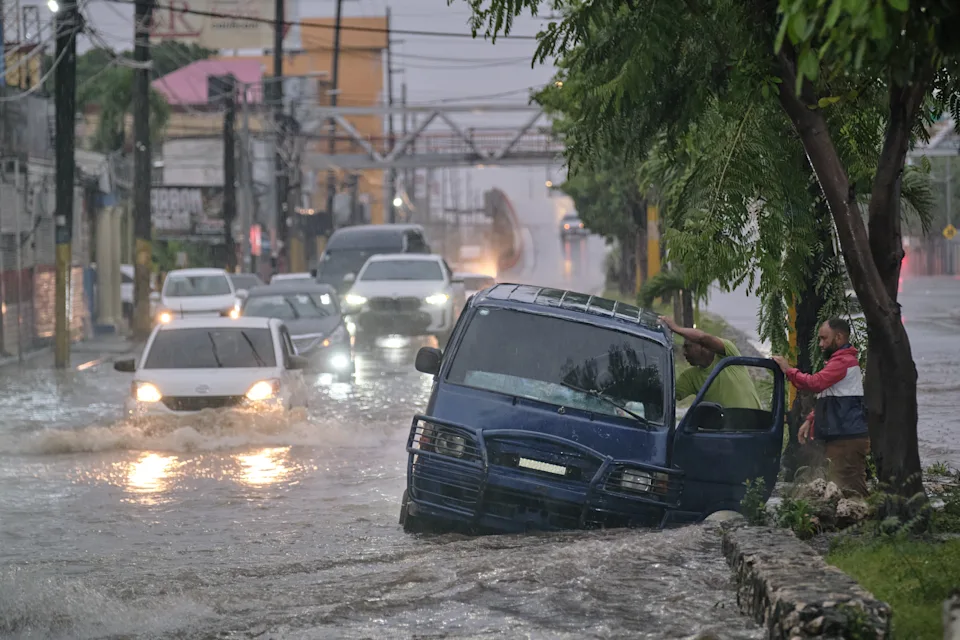
Jamaica is facing an unprecedented natural disaster as Hurricane Melissa, now classified as a Category 5 storm, closes in on the island with sustained winds reaching 160 miles per hour. The National Hurricane Center has projected that Melissa will make direct landfall on Jamaica’s southern coast Tuesday morning, marking what could become the strongest hurricane in the nation’s recorded history.
Meteorologists describe the storm as both powerful and unusually slow-moving, creating conditions that could lead to devastating and prolonged impacts. Moving at just under five miles per hour, Melissa’s slow pace increases the risk of catastrophic flooding, storm surge, and structural damage across wide areas of the island. Forecast models suggest rainfall totals could exceed thirty inches in some regions, while storm surge levels may climb as high as thirteen feet along vulnerable coastlines.
The storm’s center of circulation has remained tightly organized, with a defined eye and intense convection indicating that conditions are optimal for maintaining Category 5 strength until landfall. Warm Caribbean waters and minimal wind shear have fueled rapid intensification over the past forty-eight hours. As of Monday, the hurricane’s pressure dropped significantly, confirming its evolution into one of the most powerful systems ever observed in the Caribbean basin.
Government agencies across Jamaica have activated emergency protocols as the storm draws nearer. Residents have been urged to finalize preparations, including securing property, relocating to safer areas if necessary, and stocking essential supplies. Authorities warn that infrastructure, utilities, and communications systems could be severely disrupted for days following landfall. Flood-prone parishes, particularly those on the island’s eastern and southern shores, are considered at the highest risk for life-threatening conditions.
Meteorological comparisons place Hurricane Melissa in the same league as the 1988 Hurricane Gilbert, though early data suggests that Melissa may surpass Gilbert’s intensity. Experts predict that wind damage, coastal erosion, and inland flooding could reach levels not seen in decades. Emergency management officials are particularly concerned about isolated rural areas that could be cut off by landslides or washed-out roads once the storm begins to batter the interior.
Surrounding nations are also preparing for possible secondary effects. Portions of southern Haiti, the Dominican Republic, and eastern Cuba remain on alert as Melissa’s path could bring tropical-storm-force winds and heavy rains to those areas once it moves past Jamaica. The slow forward motion means these regions could face lingering impacts even as the storm weakens after landfall.
Satellite imagery and oceanic data confirm that Hurricane Melissa has become a nearly symmetrical superstorm, drawing in vast amounts of energy from the Caribbean Sea. The duration of its strength poses an additional challenge for relief operations, which may be delayed until conditions stabilize.
As Jamaica braces for impact, meteorologists emphasize that Melissa’s scale and ferocity make it a once-in-a-generation event. The island’s fate now depends on the effectiveness of emergency measures already underway and the resilience of its communities in the face of nature’s most powerful force.